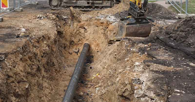
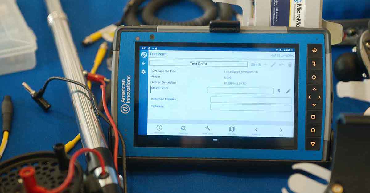
Digital Pipeline Asset Management—Transform your data collection.
CartoPac is an enterprise mobile GIS pipeline asset management platform delivering the most accurate, complete field data to support your digital transformation and integrity management objectives.
- Enables operators to collect the data necessary to safely manage all pipeline assets within the right-of-way throughout their lifecycle.
- Maintains a highly accurate digital twin.
Purpose-built Solutions

Leverage industry consensus and high value workflows.
CartoPac’s purpose-built solutions represent best practices for regulatory compliance, reporting and optimized field productivity.
- Gas Distribution As-Built
- Regulated Pipelines (Steel As-Built)
- Leak Detection & Repair
- Pipeline Inspection, Repair & Maintenance
CartoPac sets the standard for pipeline asset traceability, management, and data validation, combining rules-based mobile forms, high-accuracy GNSS positioning, and configurable back-office review and approval.
Pipeline Asset Management That’s Easy to Configure & Use
- Configurable workflows eliminate the need for costly development.
- Robust tools enable configuration without custom development.
- Software works the way you do in the field.

Learn About CartoPac Purpose-built Solutions for Pipeline Asset Management

Gas Distribution As-Built
Capture all the data required to meet pending PHMSA tracking and traceability requirements for your gas distribution pipelines.

Regulated Pipelines—Steel As-Built
Create a highly accurate and complete digital twin of your pipeline and the necessary components for a complete as-built package.

Leak Detection & Repair
Effectively and efficiently manage leak detection and damage assessment in gas distribution systems.
Your Trusted Data Partner
We support you every step of the way to ensure your data is traceable, verifiable, and complete.
Integrations deliver your data where it needs to go, including enterprise systems of record such as GIS, Maximo, and SAP.


